StraTopo
Bereikbaarheid, onderbouwd met data
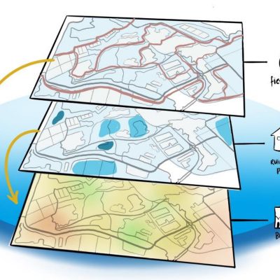
Ondersteuning bij strategische besluitvorming over bereikbaarheid en verplaatsingen, op basis van geografische data en technologie.
We use data and technology for mobility, urban planning, project and area development and the environment.
We support governments and engineering and research firms in making strategic choices about spatial issues. We do this through the use of geographic data and technology. We develop web APIs, ready-made datasets, software development and customized analyzes and visualizations, among other things. Ultimately, we want to ensure that the customer achieves greater returns thanks to data-driven decision-making.
Test Flowbility at the National Cycling Congress 2025.
Will you come test our new tool on May 21 and 22?
We are delighted to be attending the National Cycling Congress in Amersfoort! This is also a special occasion: you can visit our booth to test Flowbility.
Flowbility is our data tool that helps assess new spatial plans. For example, think of the effects of new cycling routes or new residential or work locations.
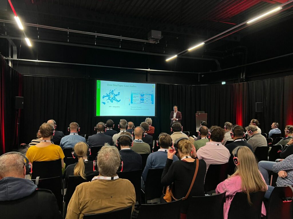
A successful day at the National Traffic Expo 2024 in Houten.
On November 28, we presented our innovations at the National Traffic Expo in Houten. Our new GeoConsultant Ross Hudson also had his baptism of fire. We gave dozens of live demos with our Arcade of our Flowbility and our Movement Patterns and Bicycle Oriented Development modules.
In addition, we presented use cases and revealed the latest updates for Flowbility, including the ability to add and remove routes in the cycling network. It was a fantastic opportunity to connect, inspire, and showcase how we are shaping the future of mobility planning.
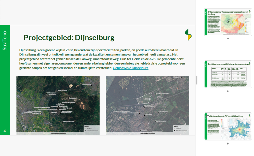
Accessibility-driven area development: Case Dijnselburg
This report was prepared by StraTopo for the municipality of Zeist.
At the Parking and Mobility Congress in Hoorn, StraTopo
gave passersby the opportunity to drop a card into the box for a chance to win a free scenario analysis. With this analysis, StraTopo aimed to demonstrate the value of the available tools to the public. Michiel van Esch, from the municipality of Zeist, participated in the competition and was selected as the winner.
After consulting with the municipality of Zeist, it was decided to use StraTopo’s data tools for the area development of the Dijnselburg location.
Watch our webinar
Scenarios and target group analysis for mobility and area development
On February 6, we held a webinar where we listened to two experienced professionals. They shared their experiences with the use of data in their field. Specifically, we discussed quantitative future scenarios and travel patterns of target groups.
Call
StraTopo is looking for pilot partners
StraTopo is looking for a partner who wants to start a pilot with us on developing mobility scenarios.
In developing ScenarioManager, we want to work together with domain experts on specific issues.
Cases
Bicycle
For two municipalities in the South of The Netherlands, we mapped where exactly students are located on the cycling network. This made concrete road safety improvements possible.
Urban planning
We provided routing calculations, data analysis and visualization for eight practical studies on the Bicycle Oriented Development (BOD) concept.
Logistics
As a data partner of Logistics Community Brabant, we developed future scenarios for the Brabant shipping and freight network. We used routing technology to map road capacity and accessibility.
Our clients




Sectors
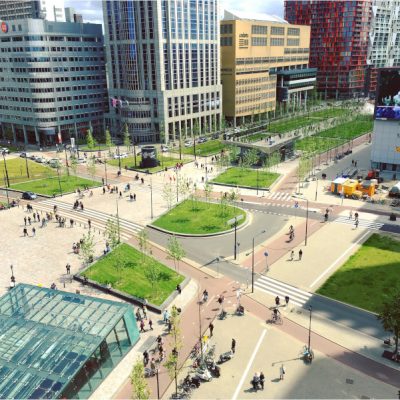
Real estate and area development
We use simulations to map where customers and target groups are located in areas and on the walking, cycling and road network.

Mobility
We provide urban planners and mobility professionals with insight into accessibility and the effect of measures on traffic and transport flows.

Logistics
We develop scenarios for freight logistics and calculate the consequences for freight and waterways.
Online information for your custromer
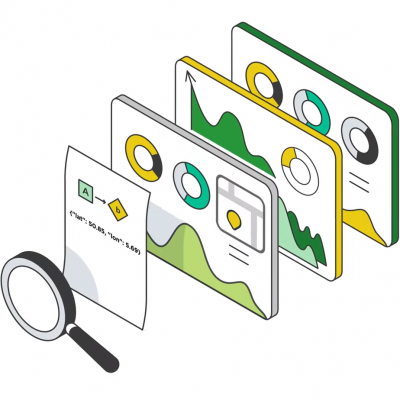
We offer accessible information for online visitors about routes, accessibility, travel time, facilities and the environment.


