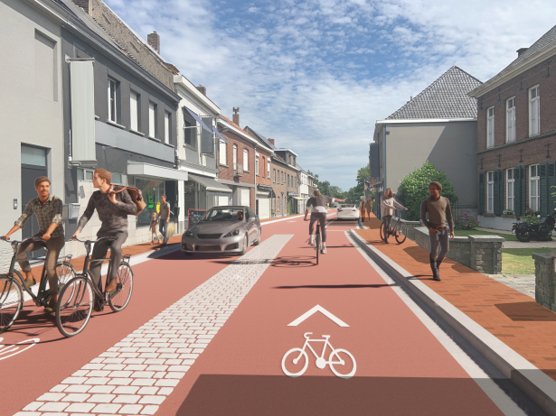
Bicycle Oriented Development (BOD) zet de fiets centraal in ruimtelijke ontwikkeling. Niet vanuit afstand of lijnen op de kaart, maar vanuit fietsreistijd en bereikbaarheid. Zo wordt zichtbaar waar wonen, werken en voorzieningen daadwerkelijk goed met de fiets verbonden zijn, en waar gerichte investeringen nodig zijn.
Target group on the map provides a detailed picture of routes and travel patterns of specific target groups or potential customers. The model provides insight into the occupancy of networks, such as the public transport network, the logistics network and cycle and pedestrian paths.
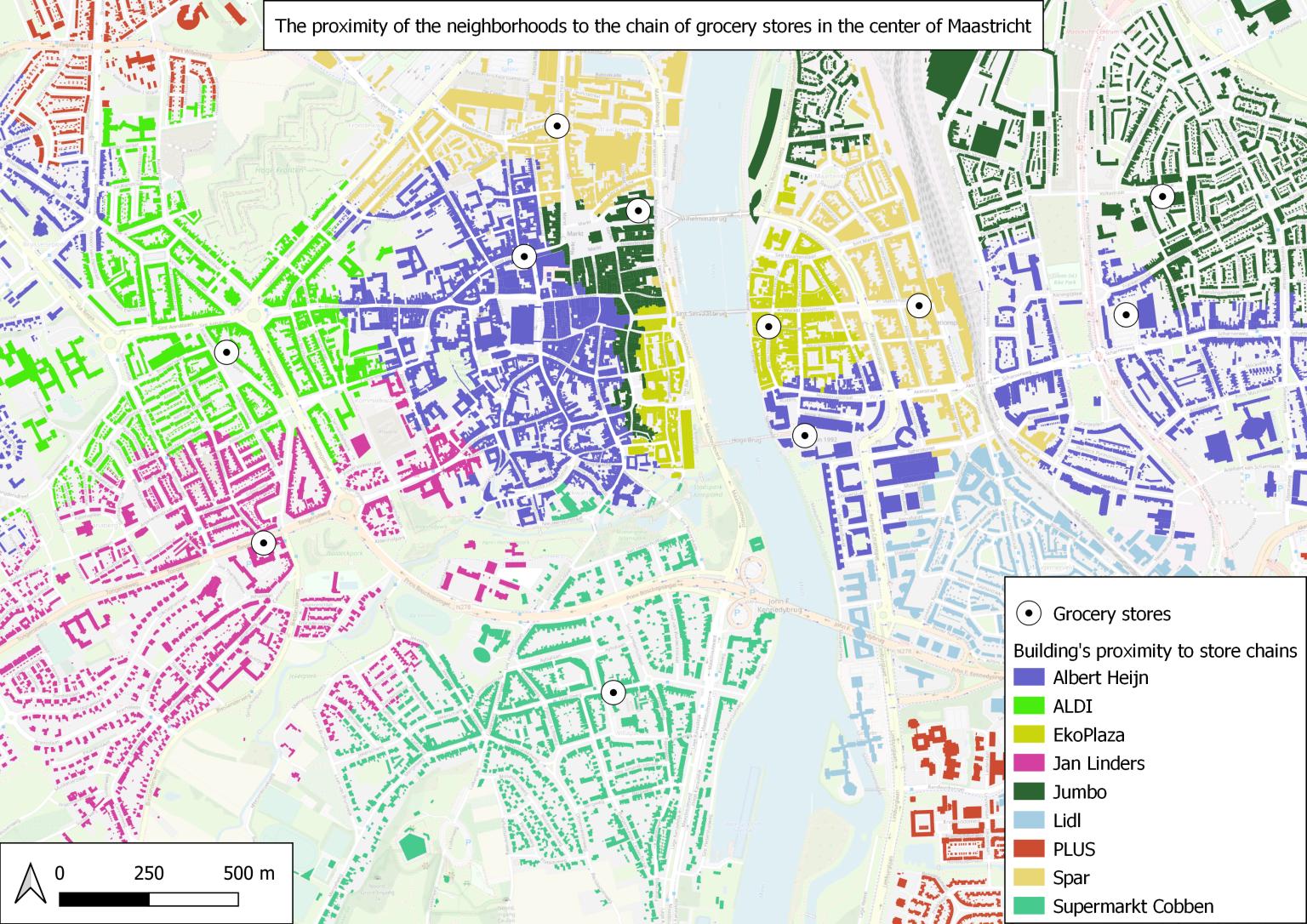
Our Routing Engine calculates which facilities, destinations and locations are within reach. This information is available for all addresses in the Netherlands, for every trip at any time – at the touch of a button.
For every address in the Netherlands, we provide data on accessible facilities and the quality of the living environment. Available as a digital, integrable tool that is accessible at all times.