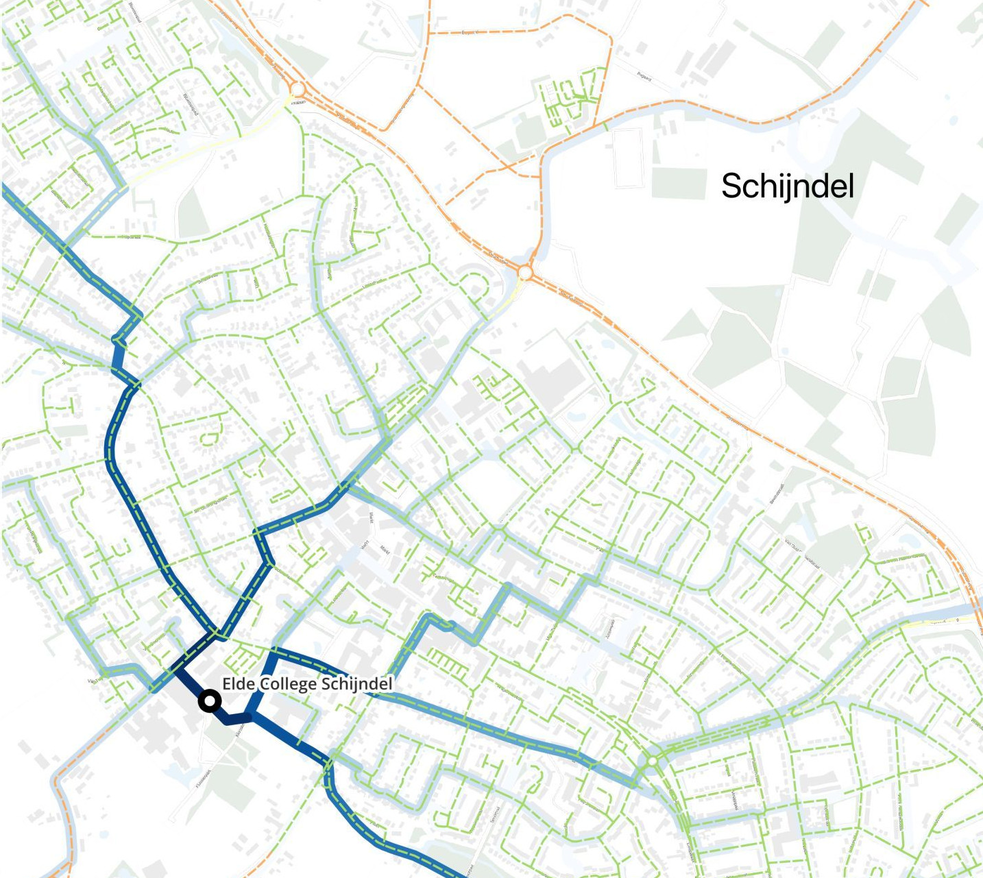
We mapped the walking and cycling routes of students for the Brabant municipalities of Breda and Meierijstad. This makes concrete improvements to road safety possible.
In collaboration with Breda University of Applied Sciences (BUas), we developed practical studies in eight regions. For this we provided routing technology and data analysis and visualization. This provided insight into the effect of planned investments and the influence on accessibility.
We supplied Stantec with our routing and isochrone API, which is integrated into the LocationManager. This allows clients to collect accessibility information needed to determine the best locations for new investments.
As a data partner of Logistics Community Brabant, we developed a series of future scenarios for the Brabant shipping and freight network. Using routing technology, we mapped the effects of increasing container transshipment on road capacity and accessibility.